On to the “Laramies” in Wyoming — Sept. 21-24, 2013

In 2011, we’d breezed through the eastern side of Wyoming on the way to Montana, visiting Cheyenne, Casper and Buffalo.  Now we were  breezing through its southeast corner!  Someday, we promise to come back and spend a more leisurely sojourn, including Cody and Wyoming’s part of Yellowstone.  We bypassed Cheyenne and stopped in Laramie for a night.  Then we moved on to Fort Laramie, 115 miles close to the South Dakota border, for the following night.

Laramie gave us nothing to write about.  I have neither notes nor photographs nor literature to spark my recollection.  Oh yes, I have one memory.  The campground was an overpriced KOA and the Wi-Fi was broken!  So I’ll skip it instead of faking it with Google and move on to Fort Laramie, where our visit is worth writing about.

The ad for the Chuck Wagon Campground said, “If you love trains, this is the place for you.”  It was a tiny place, run by Grandma and Grandpa Hofrock from their house on the property.  It was 50 yards from a main line with trains passing every 20 minutes — thanks in part to an oil depot opened in 2014 — blowing their horns for the adjacent street crossing.  The Hofrocks worked for national railroads all their lives, mostly in Atlanta, and were oblivious to the noise.  There was a small, tasty restaurant on the property owned by a transplanted New York couple — he served and she cooked.

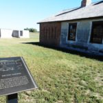
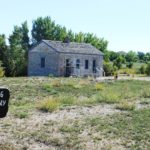
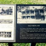
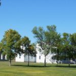
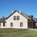
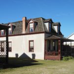
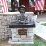
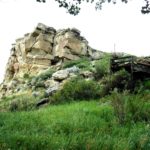
We were there before noon and used the day to travel two miles to Fort Laramie itself. Located on the confluence of the Laramie and North Platte Rivers, it started life in 1834 as Fort William, and in 1841 was rebuilt as Fort John, where it served as a critical way-station for Mormons and westward emigrants to California and Oregon.  Purchased by the Government in 1849, it became the largest and most important military post of the Northern Plains.  It hosted the Pony Express, stagecoaches and the transcontinental telegraph.  It also hosted the signing of two Native American treaties.  But it also dispatched military excursions to overrun and confine the original settlers.  Auctioned to homesteaders in 1890, it gradually fell into ruin until 1938, when it became part of the National Park System.  Since then, twelve of its 50+ buildings have been restored and refurnished to its glory days.  Approximately two dozen buildings surround the parade ground, with the others scattered beyond.

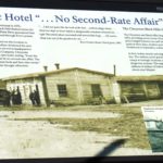
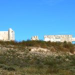
A large ruins is all that’s left of the Rustic Hotel, built in 1876 by the Post Trader John Collins to accommodate the huge influx of gold seekers.

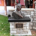
Another site is far more touching.  Sinte GleskaSpotted Tail — leader of the Brule Sioux, trusted Colonel Henry Maynadier, commander of the Fort in 1866.  Maynadier was one of a small group of officers who, while doing his duty, opposed the treatment doled out to the Indians.  On March 8th of that year, the colonel rode out to meet his Spotted Tail and escort him back to the Fort.  Spotted Tail was carrying the remains and possessions of his deceased daughter, whose deathbed plea was to be buried near her grandfather on the Fort’s grounds and to urge her father to continue seeking peace with the white intruders.  His daughter, Mni Akuwin — Brings Water Home Woman – was laid to rest on a scaffold in full ceremony.  Maynadier wrote to his wife, “…after what I witnessed in the Council room and the graveyard, I can never be willing to see these people swindled, ill-treated and abused as they have been.”  Regrettably, Spotted Tail was assassinated by his own people five years later for his part in seeking peace.

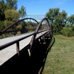
On the way back from the Fort, we encountered the story of the Fort Laramie Bridge.  The Fort Laramie Treaty of 1868 created the Great Sioux Reservation.  The Iron Bridge was opened in 1876 because there was a need to transport materials and supplies to the governing agencies.  Unfortunately, it quickly became the route of choice for gold diggers illegally entering and mining the Reservation, leading to the great Sioux wars.  Abandoned in 1958, it is preserved locally as a footbridge.

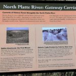
The next morning, I had to backtrack about 20 miles to get diesel fuel, and it gave me an opportunity to learn more about the North Platte and its significance in western expansion via roadside placards.

As we pulled out of Fort Laramie and Wyoming, we were “anticipatorily agog” about the show ahead of us.

An Unplanned Detour into Americana — Sept. 18-20, 2013

Our next stop was scheduled to be Longmont, Colorado.  It is the home of Wiland Direct, a database marketing company.  I worked for Phil Wiland’s previous company, Wiland Services, for many years, running the operation in Fredericksburg, VA and traveling frequently to the home office near Longmont.  Phil, entrepreneur extraordinaire, was the best boss I ever had.  And this year, he was the best basket customer I’ve ever had.  You can find more details under the “Nantucket Lightship Baskets section of this website.

It was my plan to deliver about half of his order and, at the same time, reunite with many friends who are still part of the Wiland family.  But Nature intervened.  The entire area was beset by torrential rains and disastrous flooding.  There was literally no route by which we could get to Longmont without road closures.  If we got there, we’d be taking a campsite that a local displaced family needed.

So we punted.  Our next mandatory destination was Custer State Park in South Dakota later in the month.  Pairing Google Maps with several campground guides, we identified a route through Craig, Colorado, then through lower Wyoming into South Dakota.

As often as I’d been in Colorado, I’d never mapped it very well.  We were headed for Steamboat Springs and not that far north of Vail and Breckenridge.  Obviously I’m not a skier.  But it’s nice to understand where these places are after all these years!

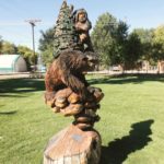
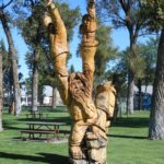
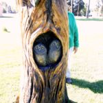
As suggested in the headline, the town of Craig was pure Americana.  Our campground was empty, expensive and weird, but the town offered lots more than we expected in a “whistle stop.”  The city park in the heart of town was the palette for folks who specialized in chain saw carving in its dead trees.  Back in 2000, Dave Pike, director of tourism for the county, came up with an idea to deal with the 20 dying cottonwoods in the city park.  He invites some artists to a Whittle the Wood Rendezvous.  The event has continued; carvers come from all over to participate.

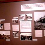
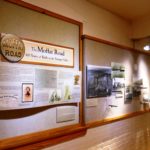
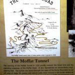
Across the street is the Museum of Northwest Colorado.  Housed in a 90 year old armory, it’s essentially a cowboy museum.  But is also spends a lot of time and space on the Moffat Railroad, which terminated in Craig.  The railroad was built for two reasons:  the abundance of coal and oil taken from the rich landscape, and David Moffat’s Dream.

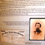
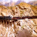
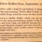
David Moffat was a New Yorker who went west, young man.   He quickly switched from retailing to banking and then struck it really rich by mining precious metals.  He built railroads to his various claims, but his ultimate dream was a more direct route from Denver to Salt Lake City and thence to the coast by connecting to the transcontinental railroad.   Construction began in 1904, and the route crossed the Continental Divide at Rollins Pass, an elevation of 11,600 feet, the highest standard gauge railroad ever built.  To climb to this height, the route involved many switchbacks, but it still required a 4% climb and became cost prohibitive to operate in winter’s snows.

Moffat’s plan for the road included a 6.5 mile tunnel to eliminate the ascent.  Other railroad barons, uneasy about competition, frequently thwarted him.   He went through his own fortune and died in 1911 while in New York seeking additional funding.  At that time, the road stopped in Steamboat Springs.  Two years later, it was extended to Craig, and fifteen years later — 1928 – the Moffat Tunnel was inaugurated.

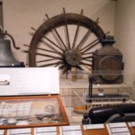
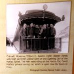
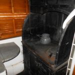
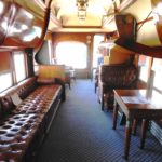
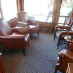
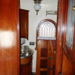
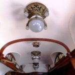
Moffat built a private railroad car, christened “Marcia” after his only child, and used it to inspect his roads and to entertain potential investors.  His expectations were doomed, in large part because Harriman and Gould felt threatened by his “intrusion” into their enterprise and thwarted his efforts.  The car was purchased by the city of Craig in 1953 for $1; many thousands have been expended to restore it to pristine condition.  The interior features exotic woods, servant quarters for two, sleeping accommodations for up to twelve, and an extensive package of utilities.

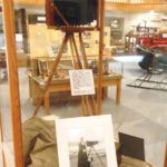
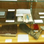
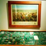
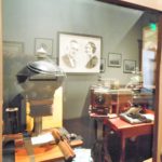
The picture of the camera display (last in the large gallery above) was a focal point of an exhibit of the work of Augusta and A.G Wallihan, among the earliest big-game wildlife photographers in the country.  A.G., an avid hunter, taught his wife to become a crack shot in her own right.  When traveling missionaries passed through the area, the couple traded a pair of buckskin gloves for the camera they carried.  Unschooled in its use, they taught themselves and then took on the challenges of lugging around the heavy equipment and getting clear “shots” with the required long exposures of the day.  There work was not only published in newspapers country-wide but at the Paris World Exposition (1900) and the St. Louis World’s Fair (1904).  Letters and articles they wrote placed them in the vanguard of the wildlife conservation movement, with other visionaries like Theodore Roosevelt and George Bird Grinnell.

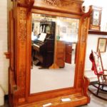
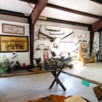
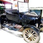
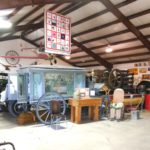
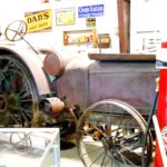
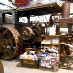
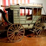
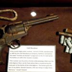
Craig held yet another surprise, the Wyman Museum.  Bill Wyman was a local who started collecting “things” in 1949 when he picked up a neglected 1932 Lincoln for fifteen bucks.  In 2006, the family opened the Museum on part of their former elk ranch to display the treasure trove of Americana that would make Mike and Frank (TV’s American Pickers) drool.

wyman museum (34)

“Junior”

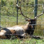
And there’s an extra drawing card.  To the delight of all, especially the children, Clyde, a domesticated elk, was a fixture at the Wyman Museum until his death at 18 in 2010.  After a two year mourning period, the Wymans obtained his successor, Junior, from an elk ranch near Grand Junction.

Craig was a great and welcome surprise.  Any stop that serves to add another chapter of the development of this Great Land is awe-inspiring.


Colorado Plateau . . . Will Wonders Ever Cease? — Sept. 14-17, 2013

The vast Colorado Plateau extends into four states: CO, UT, AZ and NM.  Both Arches and Canyonlands are in it, as are Dinosaur NM, Capitol Reef NP, and Mesa Verde NP.

It was a short hop from Moab over Colorado.  We had explored the eastern foothills of the Colorado Rockies during The Journey, but curiosity about the western side kept them on our list.  So here we were, in Grand Junction, home to the Colorado National Monument, the 25th unit of the National Park System.

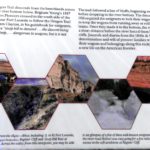
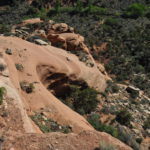
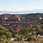
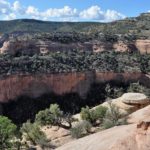
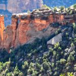
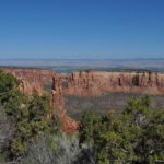
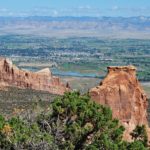
The Colorado National Monument is drive-able via Rimrock Road, a 23 mile breathtaking and spine-chilling ride with a view of all the major features.  There are numerous hiking trails within it, but no additional vehicle access for four-wheelers.  Rimrock Road is not a circuit; it extends from Grand Junction up to Fruita, and its 23 mile length connects cities that are actually just 8 miles apart.  Started in the 1930’s by the WPA/CCC, it was eventually completed in 1950 after a time out for war.

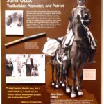
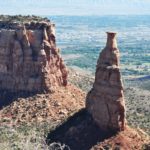
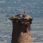
Each July 4th, daring climbers ascend Independence Monument.  It was first ascended by John Otto, who explored the canyon 1907 and prevailed upon Washington to protect it.  It was declared a National Monument in 1911 by President Taft.  Otto was the park ranger for the next 16 years.   Today, scaling the 450 foot obelisk rising from the canyon floor involves a combination of events, ending with the planting an American flag on its summit.

The Colorado Monument is simply another view of the scale and complexity of our national landscape.  It’s not the first time, by far, that we’ve gazed down into Earth’s wonders rather than looking up at them.  It’s this kind of variety that keeps us searching for more.

Back to Nature (again) in Moab — September 7-13, 2013

From Crater Lake to the Grand Canyon to White Sands to mighty Glacier, we never get tired of the geological wonders of our Nation.  Moab, of course, was no exception.

Founded as a Colorado River crossing and trading post, the city was incorporated in 1902 and gained its early traction from the discovery of uranium, vanadium, potash and manganese –and later oil and natural gas.  In the fifties, it was designated the Uranium Capitol of the World, but the end of the Cold War quickly diminished its importance.  Today, it’s in its fifth year as a DOE cleanup site.

Moab is a tiny city with a big drawing card – two of them, in fact.  Barely 3 miles in area and with a full time population of under 6,000, its two National Parks draw thousands even millions — from everywhere and for many reasons.  Both viewing and recreational opportunities abound.  The tourist industry was triggered in large part by Hollywood’s use of the area as a stage, most notably for John Ford’s Stagecoach.

Arches National Park covers about 80,000 acres.  Its prominence is due in large part to its first superintendent, Bates Wilson, who served from 1949 until 1972.  During his tenure, the park size doubled; roads, a campground and visitors center were built; and the National Park designation was bestowed.   He was also influential in the development of its larger sister, Canyonlands.  Its significant features are defined by its name; arches and national bridges abound.   They are not alone, however, in the diversity of formations, as you’ll see below.

Canyonlands National Park is over four times the size of Arches, but it has fewer than half the visitors.  There are two distinct regions within the Park, Island in the Sky and Needles.

Island in the Sky is a mesa that rests atop cliffs of sandstone, a thousand feet above the surrounding landscape.  It’s closer to Moab and attracts more visitors.  The driving route through it totals 33 miles, and you encounter numerous major attractions, including Upheaval Canyon and Dome, Mesa Arch, Grand View Point and White Rim, overlooking vast and deep canyons.  While the Colorado River skirts Arches, it streams through Canyonlands and, in fact, joins the Green River within its borders.  Thus, in addition to the recreational aspects, water recreation is a drawing card.   Views of the Green River above the confluence are found at the Green River and Grand View Overlooks.

The drive to Needles, however, is 45 miles south and then 30 miles east from Moab.  While there is a paved road going in that visits half a dozen landscapes, one needs a 4WD vehicle and/or a sound back and set of hiking legs to visit the majority of its splendor.  Having neither facility, we missed the majority of its canyons.  But the views we did get to see were worth the drive down.  Our biggest regret was not getting close enough to the Green/Colorado confluence and the rapids below it.

In the southwest section of the park, there’s another section called The Maze.  On its list of the most dangerous hikes in the country, Backpacker Magazine places it at the top.  It has virtually no trails, no water and no shade.   It’s claimed no lives, but that’s the result of intimidation that keeps all but the most experienced out of it!  It’s also a four wheeler’s attraction, but with similar precautions.  Nothing to try without adequate skills, preparation, maps and a GPS.

Between the city limits and the lower tip of Arches lies an additional treat, however:  Rte 279.  This highway is paved for 18 miles, after which it becomes desolate and accessible only by high clearance off-road vehicles.  It runs eventually into the eastern side of Island in the Sky.  But there are numerous tasty treats along the paved portion.  First, it quickly meets and parallels the Colorado River.  Second, it travels through high bluffs that are attractive to climbers.  They’re decorated by its forebears; petroglyphs from both the Archaic and Fremont periods are in evidence, sometimes both on the same panels.  One next arrives at the Poison Spider Mesa, home to genuine dinosaur tracks.  Large tracks left by a Therapod — in sand petrified to stone — are visible from a viewing platform.  Tracks from at least ten others are visible along the Poison Spider Trail.  While these heirlooms are unprotected, explorers are urged to leave them undisturbed and perform no rubbings.

Further along, the railroad right of way is visible, and, much to our delight, a train appeared from nowhere, passed close to us and continued on its journey.   At the end of the paved section stood the Imperial Potash Company, at which the train stopped but transferred no cargo.  This is one of three plants owned by the company, and it is sitting on a basin that is estimated to contain 2 billion tons of its final product (potassium chloride), used primarily in fertilizer.

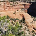
Rte 279 offers stunning formations, like the rest of the area.  One of particular mention is the Jug Handle, shown below.  Numerous trails through the area are available and accessible to the more fit.


As we returned to our campground, we passed the entrance to UMTRA, the Department of Energy’s cleanup project.  The contractor, Energy Solutions, has removed in excess of 6 million tons of tailings, shipping them to their disposal site in Crescent City, Utah.  Shipments to date represent about a third of the entire project, scheduled for completion in 2025.  Utah’s congressional delegation is seeking funds to double the rail shipments and finish by 2019.

Our campground, which was combined with a large horse boarding/training facility, was pretty barren, but like Argo, it did have a lovely view of the surrounding hills.  Moab gave us all we hoped for, and more.  And Bryce remains on our bucket list.

Touching Base with the LDS – September 3-6, 2013

In Missoula, realizing that we were scheduling trips to an awful lot of scattered venues, we devised three new alternate routes.  In the final analysis, we decided to save the lengthy trek down to Bryce Canyon — one of the few major national venues we’ve missed – for yet another trip.  We also skipped Ogden, Utah – figuring the Osmonds wouldn’t miss us — and returned, instead, to Salt Lake City for a couple of days.  (Part of the motivation was grinding truck brakes that were overdue for service.)

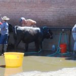
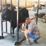
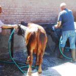
The State Fair was in progress, and we spent an hour or two walking around it.  The most fascinating discovery was getting a behind-the-scenes look at preparation for the bovine beauty contest.  At dog Specialty Shows, we call it Conformation.  Baths and grooming are essential in both situations!

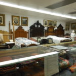
In 2012, during our Journey, we spent a week in SLC.  But Dot spent most of it flying back to Pennsylvania for her mom’s 90th birthday party.  While she was gone, I took a quick swing through the Pioneer Memorial Museum.   We went back this time to give Dot a chance to see it.  The Museum sits just below the Capitol building.  It was built by the Daughters of Utah Pioneers in 1950, styled to replicate the Salt Lake Theatre, demolished in 1929 but well evoked in the Museum’s interior design.

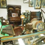
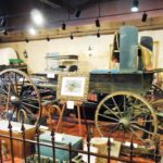
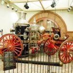
The purpose of the Museum, and its founding association, is the preservation of the history that defines Utah – the pioneers who came across the plains by any means prior to the arrival of the railroad in 1869.  Thousands upon thousands of artifacts are cataloged and organized in logical categories.  Some, such as pianos, clothing, medical equipment, lace making, hair art, musical instruments, military gear, et al, are categorized by function.  Others, like the Golden Spike, the 1947 Centennial, Pony Express and Brigham Young’s Beehive, Lion and Gardo (not a typo!) houses, deal with endeavors.  Still others are important relics, including Brigham Young’s wagon (yes, the one in which he traveled from Nauvoo to SLC) and The American Fire Engine No. 1, delivered to SLC in 1902 and fully restored to operating condition in 1994.

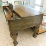
Oh yes, the well-traveled piano.  Abraham Hunsaker lived near Nauvoo, IL and joined the Mormons after they settled there.  He went west to Salt Lake City as one of the earliest pioneers.  After living there for a period of time, he traveled back to Illinois to retrieve his piano.   His second journey bogged down in Wyoming, where he buried the piano wrapped in bison robes, only to find his way back a year later to retrieve it!

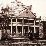
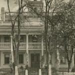
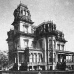
A note on Brigham Young’s houses.  The Beehive House, built in 1854, was the residence of Young and his only legal wife (Mary Ann Angel) and his first polygamous wife, Lucy Ann Decker.  The Lion House, built two year later, housed most of his other wives and many of his 57 children.   He commissioned Gardo House in 1882 for his 25th — and favorite — wife, Harriet Amelia Folsom as her residence and as a reception hall where she would served as hostess.  Amelia, daughter of architect William Folsom, was young, talented and refined.  Her father was involved in the design of the Salt Lake Tabernacle, Pioneer Theatre and three area Temples.  “Gardo” is believed to be a term from a Spanish novel that was one of Young’s favorites.  Unfortunately, he died before its completion.  The two succeeding LDS presidents used it as their residence.  Pictures are all borrowed from Internet searches — begging  forgiveness rather than asking for permission!

Pio Mus (5)

John Rowe Moyle’s home-made Wooden Leg

There are two relics of particular interest.  One is a black coat worn by Willard Richards, an 1847 pioneer who was in the room in the Carthage, Illinois jail when Joseph Smith was murdered.  The other is a wooden leg, fashioned and worn by John Rowe Moyle.  An 1856 handcart pioneer, he was a stonemason and stone carver who worked on the Temple.  Nothing unique there, until you discover that he walked 22 miles in the wee hours of every Monday from his farm in Alpine and walked back home on Friday night to tend the farm and his family – even after he lost a leg below the knee when a cow kicked him.

There’s more information on this museum in the Salt Lake City chapter of my e-book of the three year trip:  www.schipperhaven.org/journey.  Even with this three hour second visit, there was still more to see — we have yet to go through any of the three historic houses!  Moab was calling us, but I hope we’ll return.

Discovering More in Idaho than Expected – Aug. 27 – Sept. 2, 2013

During our three year Journey, we made a number of stops in Idaho.  But another on our list was still unexplored.  We headed due south from Missoula to the city of Arco so we could visit the Craters of the Moon National Monument.

We lucked out at our campground of choice, Mountain View.  Not only was the rate reasonable; we were entitled to eggs, pancakes and coffee every morning.  We did every other day, and padded them with sausage or bacon for a nominal extra charge.  And the free meal benefit ended for the season on the day after we left!  The view from the campground was unusually great, too, and it included a  mountain that every Arco high school class has emblazoned it with its graduation year!

Craters of the Moon National Monument and Preserve is the largest volcanic plain in the U.S.    It was formed by a series of eruptions along a 62 mile fault in the Snake River Valley called The Great Rift.  Eruptions began as long as 15,000 years ago and continued until about 2,000 years ago.  Future eruptions are expected, but not for at least 100 and maybe as much as 900 years from now.  So don’t cancel plans to visit.

Actually, eruptions began millions of years earlier.  Prevailing theory states that a hot spot under the area pushed magma, first a thicker rhyolite (the volcanic equivalent of granite) and later the top covering of basalt, creating a new landscape as much as 4,000 feet thick.  The hot spot hasn’t moved, but the earth’s plates have, and the hot spot is now believed to be under Yellowstone National Park.

The total Preserve is 1,100 square miles, about the size of Rhode Island.  There are actual three fields, Craters of the Moon itself being the largest.  Two others, believed to have occurred at a time when the Shoshone were present to see them, are the Wapi and Kings Bowl fields.  Tribal lore alludes to a giant angry snake squeezing the mountain and causing it to belch fiery liquid.   As with virtually every geological formation, there’s a new lexicon to learn:  cinder cones, spatter cones, vents, fissures, lava tubes, lava bombs, tree molds, rafted blocks . . . and others.

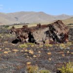
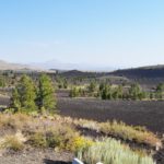
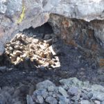
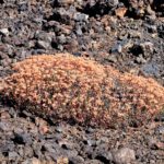
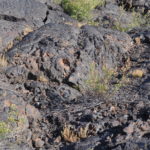
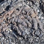
We toured the fields as best we could.  My aching back — a permanent arthritic affliction — had begun to restrict the distance I could walk.  And Dot was no better off; she had a foot issue that was destined for surgery when we got south for the winter.  So after a review of the Visitors Center maps and orientation, we drove the circuit and roamed off it as best we could.  All was not lost; we got a broad impression of the formations, and we saw the interaction of the cold magma and the growing things that survive in its environment.  We learned considerably more than is detailed here, but we hope the photos below will stimulate your interest, either in person or virtually.  They’re really not suitable for captioning, but you’ll get a random look at the picture

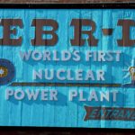
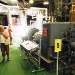
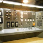
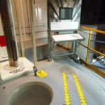
Unbeknownst to us, there was a second attraction to be seen in the area.  Arco has the distinction of being the first city ever to be electrified by atomic energy.

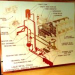
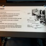
Not long after W.W. II, the Department of Energy began to explore the concept of a breeder reactor to generate electricity, espoused by Enrico Fermi and his colleague, Howard Zinn.  The Argonne National Laboratory at U-Chicago, originally involved in the Manhattan Project, established a facility in Idaho called EBR-I (Experimental Breeder Reactor).

The small team led by Zinn and project engineer Harold Lichtenberger, received their just reward when, on December 20, 1951, the switch was thrown and a string of four 200 watt bulbs glowed brightly.  The capacity was raised the very next day, and EBR-I generated electricity for 13 years until it was replaced by EBR-II, which in turn ran through 1994.  In 1966, EBR-I was dubbed a National Historic Landmark and became the museum it is today.  There’s a self-guided tour through the entire facility and process, and hosts field questions and make sure you get the answer.  Poised in the middle of the desert, the entire area is the 890 square mile Idaho National Laboratory.  In addition to the reactors, INL’s 4,000 employees pursue countless engineering projects.

One of the major functions of the installation is the processing of nuclear “leftovers” from installations throughout the country.  It’s not simply “waste” — the site was the recipient of all the core debris — 148 tons of it — from the Three Mile Island meltdown.   The story of the preparation and execution of that transfer, by rail without incident, is documented in the Museum.    Also found there are examples of the Lab’s attempt to create nuclear airplane engines, an experiment that was abandoned.

Glowing from our discoveries, we pushed on southward to the next state.

Missoula. . . Missoula . . . My Home Town – Aug. 10-26, 2013

Since we first visited Missoula in April, 2011, we’ve claimed that Montana is our favorite state and Missoula is our favorite city in the U.S.  There’s an asterisk on that:  Not between October 15 and April 15. 

We went there this year to rest and enjoy waking up with a view of the Bitterroots.   We went there because friends live 50 miles away, both north and south.  And we went there to commune with our favorite animals at the National Bison Range.

But the relaxation was tempered.  Several weeks earlier, I received an order for a large number of Nantucket baskets.  There was no way I could wait until we reached Florida to produce them, so I set up a workstation and spent most of our 17 day stay weaving away.  It really didn’t matter; being in the ambiance was the most important part.

lolo fire (3)

Delivering water to quench the Lolo fire

There was another reason for sitting tight.  A forest fire was raging in the Bitterroot Valley, as close as 25 miles from us.   Ash and thick haze blocked our view for most of the time, turning day into . . . well, see picture!  I drove down  to the Travelers Rest State Park in Lolo — the last Lewis & Clark bivouac before crossing the Rockies in 1805 and a key stop on their way back — to replace my tattered tee shirt.  I was blocked for an hour by fire-fighting helicopters hauling giant water buckets aloft to dump them.  As our visit went on, the fire became more contained, and Dot was able to head south past the fringe of it to visit our dear friend, Susan Buchard, in Hamilton.

The Bison Range is within Lake Missoula.  It existed during the Ice Age, and when the glacial dam that held the Lake broke with cataclysmic flooding, the cascading water traveled all the way to the West Coast, carving out the Columbia River Gorge — and many other of today’s geologic features both east and west of it.  The 22 mile white knuckle drive through the park gives you an opportunity to stare into its depths.

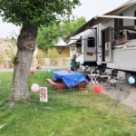
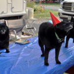
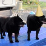
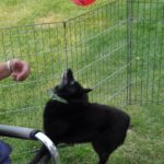
One other event brought a mixture of joy and tears.  We chose August 22 to hold a birthday party for all four of our Schips.  It was that date two years earlier that we lost Teddy, my heart dog, in nearby Bozeman.  It was truly a celebration for our four travelers and our five angels.


On To Helena — August 3-9, 2013

On our three year Journey, we didn’t include a stop in Montana’s Capitol.  We went through it as we traveled from Great Falls to Bozeman, but our prime focus at that time was on our beloved Teddy Bear Onyx, who breathed his last in Bozeman at age 15.  So we made up for it by spending a week there this time.

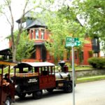
Helena is a lovely, fascinating city.  Our first adventure involved the Last Chance Gulch Train.   We departed from the city’s historical museum in a 100-plus foot Choo-Choo on wheels.  Recognizing that our train was half again longer than a semi-truck, we were amazed as our driver deftly wound us through the streets of the city for an hour, giving us sense, pointing out landmarks and regaling us with tales.  Most of all, she increased our thirst for more.

The “last chance” appellation refers to the miners who worked the city’s gold claims and provided so much heritage that Main Street is Last Chance Gulch!  As a bonus, our train trip entitled us to freebies along the way as we explored the shoppes along the Gulch.  A stroll down Last Chance Gulch gave us a chance to eye the many emporia, along with the street art, that we had rolled past on the trolley. The last of the three pictures below,  taken further down the street, shows the Gulch in an earlier time!

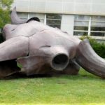
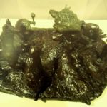
MT Hist Mus (2)Now it was time to search out the treasures to which we’d been introduced.  We started with Montana’s Museum, from whose doorsteps our loco-tour had departed.  Outside the front door is a larger than life metal sculpture, Herd Bull, by Benji Daniels.  Nearly 25 feet across from horn tip to horn tip, it was built from scrap sheet metal and represents both the vast importance (size) and tragic destruction (skeleton) of this classic American symbol.  When we first arrived for the trolley ride, a class field trip was using it as a jungle gym!

There were five galleries within the Museum.  One celebrated Charlie Russell, a nice refresher for us since it had been two years since we visited Russell’s home and gallery in Great Falls.  Eighty works ran the gamut from flat and 3D art to his illustrated letters.

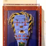
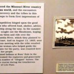
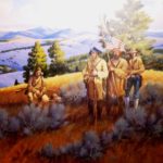
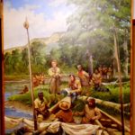
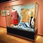
The permanent collections also included a series of exhibits that chronicled life in the territory, dating back 12,000 years and bringing us into the 20th century.  Neither Empty nor Unknown is an exhibit chronicling the life of the six Native American tribal groups that Lewis and Clark met – or often failed to meet because of the region’s vastness and because he was traveling the rivers while they were off hunting!  The first three pictures are a sampling of more than a dozen describing the Native American nations.

There was heavy emphasis on L&C; the Corps was there, nearing the headwaters of the Missouri, in the summer of 1805.

The journey continues as Montana emerges, experiencing hard times and boom years.

History Mus (93)

Big Medicine

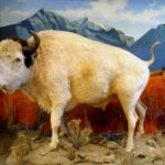
On the upper floor stood Big Medicine, a white bison born on the Flathead Indian Reservation on May 3, 1933. Named in recognition of attributed spiritual powers, he epitomized the importance that such births meant to the Native Americans. Not a true albino, he had blue eyes and a brown hump.  When he died in 1959, he had exceeded the average life span by one third, at which point his coat was well worn and retained that way in preser-vation.  At one time, he was the second most popular attraction in the state –after Yellowstone National Park!

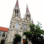
St. Helena’s Cathedral dominates the landscape.  It has a congregation of about 1,700.  Financed in large part by Thomas Cruse, a local gold miner/philanthropist, the Cathedral’s cornerstone was laid in 1908.  Built of Indiana limestone instead of Montana sandstone, it actually took until 1924 to complete.  But the dedication was on Christmas Day 1914– five days after Cruse’s death at 78.  His was the first funeral to be held there.  Over the succeeding years, most recently in 2002, it has repeatedly undergone restoration and renovation.  Repairs necessitated by a series of earthquakes in 1935 took three years to complete.  At this point, pictures will be better than words.

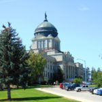
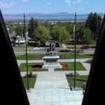
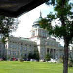
The Capitol sits on an expanse directly across from the Natural Historical Society.   Construction, of sandstone and granite, began in 1899, and the major financial resource was . . . Thomas Cruse!   It was designed by Frank Mills Andrews, and it was completed in 1902.  Like so many others, received wings on both sides in 1909 and 1912.

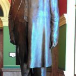
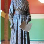
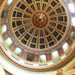
You enter under the dome, and the rotunda is impressively decorated by artwork representing the four forces creating the state:  Native Americans, gold miners, cowboys, and explorers.  Straight ahead is the Grand Stairway.  The first landing honors two people with statues:  Wilbur Fisk Sanders, lawyer, Civil War veteran, forceful prosecutor and one of Montana’s first U.S. Senators; and Jeannette Rankin, leading voice for women’s suffrage, and first democratically elected woman (U.S. Representative, 1916-1918) and lifetime advocate of women and peace.  Her first vote in Congress was against entry into W.W. I.  She did not survive re-election then, but she was returned to the House in 1940 and cast the only dissenting vote against our entry into W.W. II.  Hallways to either side lead to the Governor’s and the Secretary of State’s offices.

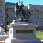
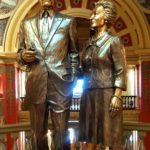
Continuing up the staircase, one reaches a mezzanine that heralds Montana’s favorite son, Mike Mansfield, longest serving Senate majority leader in history,  and his wife Maureen.   The legislative and judicial functions are found at this level.  The room to the east has had three lives:  Senate Chamber, Supreme Court Chamber and Meeting Room.  The opposite room was originally the House Chamber and now houses the Senate.  The much larger rooms in the added wings hold the House to the west and the Law Library to the east.  The Court now has its own Judiciary building elsewhere in town.  A statue of Thomas Francis Meagher, a former governor of the Montana Territory and commander of the Irish Brigade in the Civil War, was added to the front lawn on July 4, 1905,

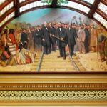
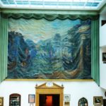
Throughout the building are depictions of all the elements that have created Montana’s unique character.  As in the Historic Society, considerable attention is paid to the Corps of Discovery.  It’s culminated, in fact, in the piece de resistance: a painting by Charles Russell in the House Chamber, so large that Charlie had to raise the roof of his studio to complete it.  It’s entitled Lewis and Clark Meeting the Flathead Indians at Ross’ Hole

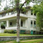
Montana’s Original Governor’s Mansion was built in 1888 as a private residence.  The state bought it in 1913, and it housed nine chief executives and their families until a new (ugly modern) mansion was built in 1959.  It had a variety of uses for the next 20 years until 1980, when it became an established city tourist asset and was restored to its 1913 image.

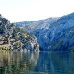
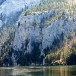
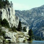
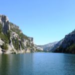
After a two week rigorous ordeal to portage the nine Great Falls in the steaming July heat, the Corps continued upstream through a cavernous section of the River half way between the Falls and today’s Helena.  Limestone cliffs towered almost a quarter mile above them and extended right down into the deep water.  Meriwether Lewis’s fascination with this geography was one driving force back to the Helena area for us. In his journal, Lewis wrote,  “I shall call this place:  Gates of the Mountains.   We were not about to miss the experience of taking a tour boat ride through it.

The boats leave from Upper Holter Lake and  provide a ninety minute, slow moving, vividly described journey down through Gates of The Mountains and back.  Our captain deftly approached the passage from four or five different directions so we could envision how it might have looked to the expedition 208 years ago.  He tirelessly explained geographic features, flora and fauna along the route.  He offered to put folks ashore at the Meriwether Picnic Area, one of the very few spots in the stretch that a boat could land (and where L&C likely camped).   It was near this area, in Mann Gulch in 1949, where a raging forest fire caused the worst disaster in smoke-jumper history — thirteen men were lost.  Again, our captain narrated a description of the disaster that was a virtual mise-en-scène.  We were also driven in close enough to see petroglyphs left by inhabitants prior to L&C.

We made a last trip downtown to visit the Great Northern Town Center.  We knew it was a boutique-y outdoor shopping center, but it also promised a L&C commemorative trail, and anything attached to The Expedition intrigues us.  We got there before the shoppes opened and the carousel started to turn, so we walked the esplanades with few others.  It was filled with plaques that told snippets of the L&C story along a “river” in the pavement.  It’s also interspersed with sculpture.

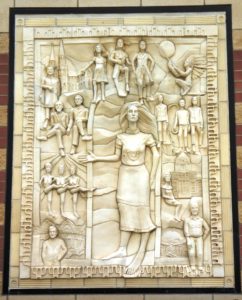
Gt Northern Ctr (25)The Town Center exhibit  that really peaked our interest was a clay frieze entitled Entrepreneurial Spirit of Helena, created by Seattle artist Kristine Veith in 2003 caused a stir when first unveiled.  It took me a trip through Google to identify all of the images portrayed, and what a collection! They include  Alan Nicholson, developer of the Town Center;  Lewis; Clark; Sacacawea; Thomas Cruse; Jeannette Rankin and Wilbur Sanders.  Bishop John Carroll builder of the Cathedral and founder of Carroll College in the first 20th century decade is there, along with Thomas C. Power, merchant and first Senator; three representative Chinese laborers; and  Archie Bray, brick maker and philanthropist whose Foundation for Ceramic Arts thrives today.  A large figure of “Helena” is in the center, representing the city’s name, applied by the many Minnesota miners from St. Helena.  But there’s more.  There are three brothel dancers in the montage.  Josephine “Chicago Jo” Hensley, an Irish immigrant lass who worked her way west from NYC on her back, moved to Helena and opened a “house” in 1867.   Her business grew exponentially; she owned four major establishments and partnerships in many other businesses in the city.  Her death, in 1890, prompted a huge funeral and many tributes.

And still more.  When the work was first unveiled, it was rumored that one of the dancers was a spittin’ image of Montana Governor Judy Martz, then in office as the State’s female top executive. Veith denied even knowing what the governor looked like!

So that’s Helena.  So much more than we expected.  I’m still not sure we gave it full justice!

Hardin: The Little Bighorn Battlefield — July 30-August 2, 2013

We had given short shrift to eastern Montana during our three year Journey and we’re making up for it now.  But since we were still unable to schedule completion of the Dinosaur Trail, that simply means that we’ll have to come back again.  At least we’ve now been to both ends.

Crow Agency, MT is the actual location of the Little Big Horn Battlefield, but we parked our rig about 12 miles away in Hardin.  It is a very small town (pop. 3,600), but it has a super qualified truck facility that found out why we were running on only three of the dually wheels on our truck instead of all four!
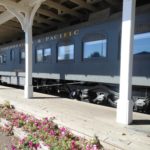
On The Journey in 2011, we’d bypassed the Little Big Horn site because the bulk of its antiquities, we learned, had been moved to a federal climate-controlled Arizona warehouse because conditions at the site were inadequate to protect them.  We didn’t realize, however, that the heart of the site couldn’t be moved.  Thus, the visit this year.  We spent two days there.

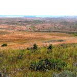
On Day 1, we took a tour of the visitor’s center – a quick experience since it was minimized and what you really want to see is out in the field.  We listened to an impassioned half-hour lecture from a ranger who was so into it that he could have kept us entertained for hours.  Then we took a one hour tour with Apsaalooke Tours through the center of the action with a Crow Indian guide (the Crow Federation has an exclusive license to run these tours).  I will leave the recast of history to the scores of treatises on the subject, but I will share some pictures and a few sights of wonder.

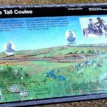
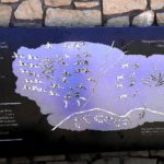
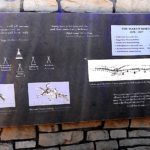
The road is on a rise that allows one to see down into the field where over 5,000 Native American families were camped – the target of Custer’s mission.   You pass named skirmishes along the way that resulted from Custer’s segmentation of his force:  Lame White Man Charge, Greasy Grass Ridge, Medicine Tail Coulee, Sharpshooter Ridge, among others.

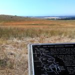
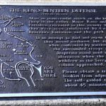
The path runs five miles south to the Reno-Benteen Battlefield where the fateful day actually began.

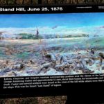
Then it returns to Last Stand Hill.  We left the tour bus there and continued on foot.

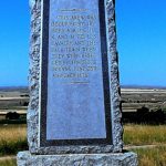
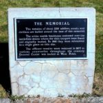
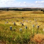
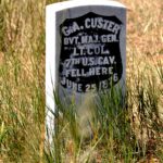
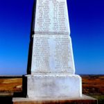
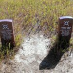
In 1879, a wooden memorial was the first to be placed on the field.  Two years later, Lieutenant Charles F. Roe and the 2nd Cavalry built the granite memorial that marks the top of Last Stand Hill (above).  Marble markers locate the spots of the fallen soldiers, while granite markers denote Cheyenne fallen.

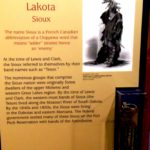
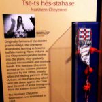
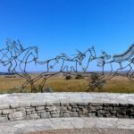
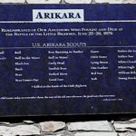
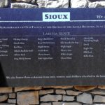
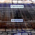
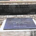
The Native American Memorial, completed in 2003,  honors the Lakota, Arapaho and Cheyenne losses.

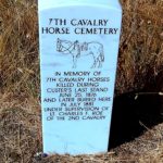
A horse cemetery is also marked.

LIBI 2 (15)

Custer National Cemetery

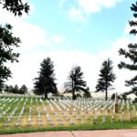
Walking back down the Hill, we passed the Custer National Cemetery, adjacent to the Visitors Center.  It is not the burial place for the victims here; many of those were returned to their homes back east.  Custer’s remains were buried a West Point.  Now closed to new graves, the cemetery contains the names of many frontier soldiers as well as members of all forces through most of the subsequent wars.  There are approximately 4,500 graves in all.


LIBI 2 (11)

Lori Piestewa’s Memorial

One notable name is Pfc. (posthumously Spec.) Lori Piestewa (White Bear Girl), the first Native American to be killed in a foreign war.  Lori, a Hopi, is buried in Tuba City Arizona, but there is a memorial to her here, shown at right.  She was one of the brave soldiers involved in the Iraqi attack in 2003 during which she, Jessica Lynch and Shoshana Johnson were taken captive.  Lori’s head wound caused her demise shortly thereafter.


When we went back for a second look on Day 2, we also went to the adjacent Custer Battlefield Museum, a private facility located in the town of Garyowen, MT, the only town within the battle site, near the location of the mass Native American camp.  It houses a wide collection of artifacts from the battle and from the history of the opposing sides.  Out front is a Tomb of the Unknown Soldier, reputed to be the only such site outside of Arlington Cemetery.  It was dedicated on the 50th anniversary of the battle and contains the remains of a soldier under Reno’s command.

The Museum proudly houses a collection of the photography of David F. Barry (1854-1934), whose portraits of Sitting Bull, Gall and many others on both sides are world famous.  But tourist cameras are strictly prohibited.

This ended our sojourn through the history of the Little Big Horn.  But there was more to see  “in the neighborhood.”  The first trip was less than desirable because I opted for shortest rather than fastest route and wound up on dirt road for more than half of the 50 miles.  The reward at the end was worth it.

One of the very few exact locations known to be reached by the Lewis & Clark Corps of Discovery is Pompey’s Pillar.  Rising 150 feet above the Yellowstone with a full acre footprint, this sandstone butte sits 25 miles east of modern Billings. A stele at the summit identifies it as being just under 3,000 feet elevation from sea level.  It is a well-documented landmark, named by Capt. Clark after Sacacawea’s son when he and his part of the expedition traveled back toward North Dakota in 1806 to link up with Capt. Lewis.  In fact, he carved his name and the date on its wall about half way up on the north side.  A snaking stairway leads you to the signature, where chatty volunteers love to swap stories with those of us who’ve explored the whole Trail.  That signature was somewhat protected in 1882 when the Northern Pacific Railroad installed a grate over it, , but it was not until 1954 that the current shield was put in place.  Meanwhile, the curious have had a field day of scratching their own graffiti at the site.

Declared a National Historic site in 1965, it was in private hands until 1991, when it was acquired by the BLM.   They manage not only the landmark but an informative museum in the Visitors Center that opened in 2006.

Pomp Pillar (39)

Do you see the image?

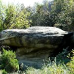
A ranger who accompanied us between the signature location and the summit pointed out an image in the rock wall.  Native Americans called the Pillar “the place where the mountain lion lies,” and the image we saw might have been the reason.  I didn’t find it immediately, but when he highlighte it with a laser pointer, it became clear.


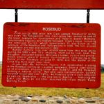
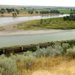
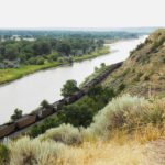
I made the return trip the long way on roads that were all paved.  And I’m doubly glad I did, because I got to visit Rosebud Creek, scene of at least two significant moments.  In chronological order, Wm. Clark and party passed through here after visiting the Pillar.  His documentation of the region was a major impetus to the subsequent fur trade that overran the area.  In fact, buffalo hunters took over 40,000 buffalo pelts in the 1870’s and ‘80’s, seriously affecting the Native American food chain and causing uprisings.  That, in large part, led to the second Rosebud moment.  On July 18, 1876, General George Crook fought a fierce battle with Crazy Horse and his Sioux/Cheyenne friends.  Despite being supported by a force of Crow and Shoshone, history will say that Crook left the field defeated and withdrew to his camp in Sheridan, Wyoming.  He decided to sit out the Little Bighorn campaign eight days later, and historians have a lot to say about that decision.

But we still weren’t done.  The Big Horn County Historical Museum opened in 1979 east of Hardin.  Originally 22 acres, expanded to 35 and added a new museum building in 2012.  Over the years, 24 authentic historic structures from throughout the county have supplemented the site’s original farmhouse and barn, each containing exhibits of the era. The new museum building includes a gift shop, research library, archives and offices.

Sadly, we only had a brief time left — only enough to skim the main museum building before heading back to camp to pack up for departure the following morning.

Glendive Proved How Little We Know — July 26-29, 2013

The tentacles of the Oil Boom in Williston reach far and wide.  Minot, 100 miles east, was flooded with workers, and the same was true on the other side of the enterprise in Northeastern Montana.  We wound up finding a campground vacancy in Glendive, MT, about 50 miles southwest of Williston.

Our site was nothing to write home about, but we found plenty to interest us in the Glendive C-of-C’s 92 page tourist and relocation guide. Glendive is the eastern end of the Montana Dinosaur Trail, a chain of 14 museums in 12 communities primarily across the northern reaches of the state.  Glendive sports two locations:  a downtown museum and Makoshika State Park, dubbed the “Badlands of Eastern Montana.”  

the burys

Hell Creek Music’s Steve and Christie Bury

First, the museum.  Steve and Christie Bury, Seattle expatriates, moved with their daughters Chantell and Courtney and $300 to Glendive a decade ago and opened up a music shop, Hell Creek Music, in a century-old downtown building. Walk in and you are surrounded with dozens of instruments and accessories covering every inch of the walls and counters.  If you walk half way down the store and glance right through the archway, you’ll find that a wall divides the space down the middle, and the view on the other side is considerably less contemporary. (Picture at left from the Billings Gazette)

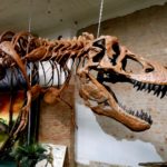
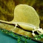
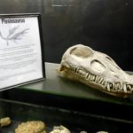
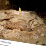
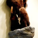
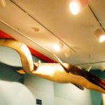
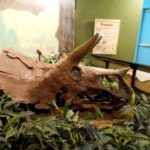
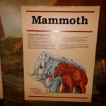
Now it’s Hell Creek Music & More.  Half the space is the Makoshika Dinosaur Museum.  Steve and Christie’s other life is the preservation of artifacts from three ages of the area — Triassic, Jurassic and Cretaceous.  It’s an extensive collection of sculptures, replicas and real fossils, enough to keep you fascinated for a long time.  T-Rex dominates the scene as you enter.

Talented musicians, Chantell and Courtney have flown the coop and are now a popular touring duo out west.  Performing in many well-known hot spots on the coast, they’re known as H3LLOMYNAME IS.

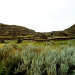
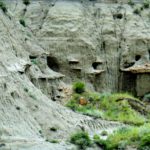
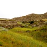
Less than two miles beyond our site, Makoshika State Park is the largest in Montana.  It is at the upper end of the Cedar Creek Anticline, a 30 x 150 mile uplifting in the earth that is described as resembling a ripple in a blanket.  The Anticline runs from there down into the northwestern corner of South Dakota.   You may not be surprised to learn that Makoshika is Lakota for . . . bad land!
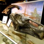
The Park and Anticlime are contained within the Hell Creek Formation, a layer of rock deposited at the end of the dinosaur age that runs from northern Colorado through eastern Wyoming and western Dakotas in an arc covering over half of Montana.  The Park, therefore, is a treasure trove of both geology and paleontology.   Erosion creates hillocks, ledges, mushroom columns and large flats, topped in places with sub-tropical grasses and trees.  Beneath the surface, more than 10 species of dinosaurs have been found, as well as an archaeological richness of many species.  The Park’s Visitors Center offers additional exhibits.


BNSF (2)

Make-ups day and night!

Over the years, we’ve found a strong correlation between the location of campgrounds and the presence of railroading, especially its sounds.  Glendive took that one step further.  About 200 yards away, the lower end of a six track make-up yard was active 24 hours a day.  Trains would come in from both directions and depart after being restructured.  The white noise was the idling diesel engines, and it was supplemented by the slams of couplers and the shouts of the crews.  To us, it was not only non-disturbing; it was a source of entertainment as we speculated on how many cars, how many engines, time of departure and direction.  Simple pleasures!

We had given short shrift to eastern Montana during our three year Journey and were making up for it now.  Read on!